
Uncategorized
SmartAgri UGM Team Conducts VTOL Drone Trial on Sugarcane and Papaya Crops in Sleman
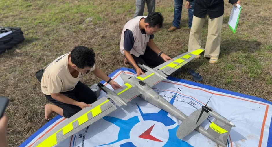
Sleman, June 9, 2025 – The Smart Agriculture Research Center, Department of Agricultural Engineering and Biosystems, Faculty of Agricultural Technology at Universitas Gadjah Mada (UGM), conducted a trial of Vertical Take-Off and Landing (VTOL) drone technology, the Trinity Pro, in mapping and plant health evaluation activities in a sugarcane and papaya plantation area. The activity was carried out in Dusun Sutun, Sendangsari Village, Minggir District, Sleman Regency, Special Region of Yogyakarta, as part of a research collaboration between UGM and Sendangsari Village Government for papaya commodities as well as PT Madubaru (Madukismo Sugar Factory) for sugarcane commodities.
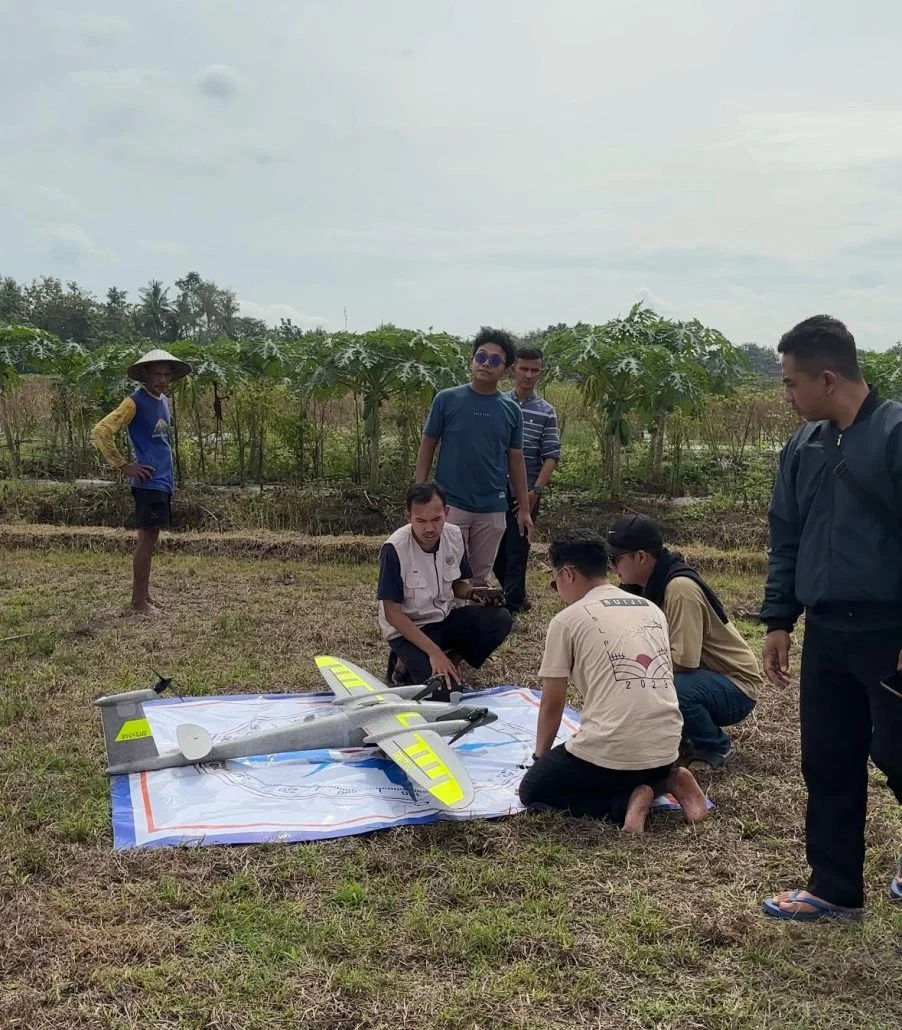
Pre-Flight Inspection of the Drone
Ir. Andri Prima Nugroho, STP., M.Sc., Ph.D., IPU, ASEAN Eng., APEC Eng., Coordinator of Researchers at Smart Agriculture Research Center UGM, strongly supported this activity. He emphasized the importance of utilizing VTOL drone technology as one of the strategic innovations in promoting precision agriculture and more efficient resource management in the plantation sector.
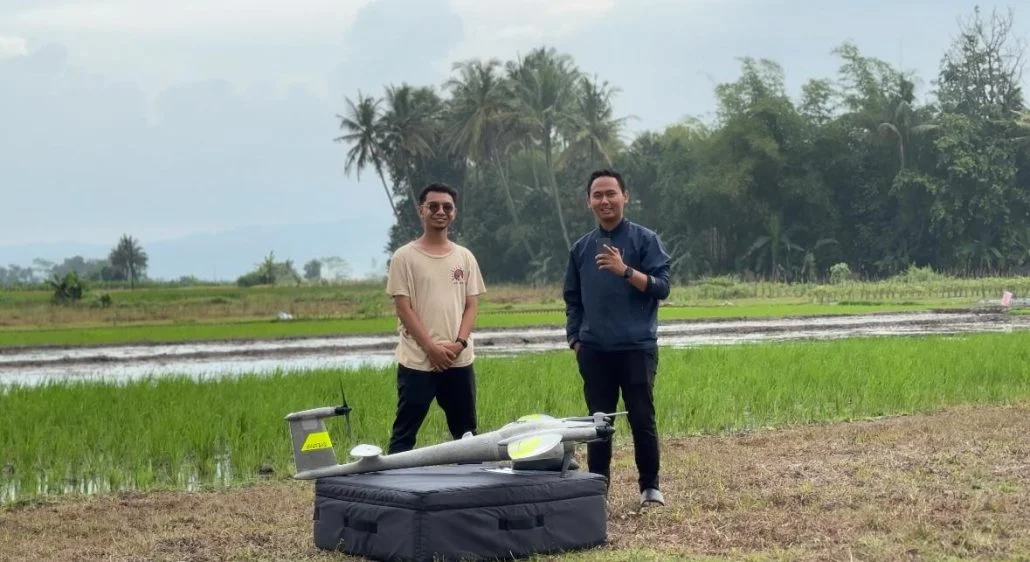
The Trinity Pro drone used in this activity is equipped with RGB sensors and MicaSense multispectral sensors that enable high-resolution image data acquisition. The images will be analyzed to map plant physiological conditions accurately through vegetation indicators such as NDVI and NDRE. According to Ardan Wiratmoko, S.T.P., M.Sc., a researcher from Smart Agriculture Research Center UGM, this drone has a number of advantages that strongly support the development of precision agriculture, such as the capability to fly for up to 90 minutes in a single mission with extensive area coverage, the ability to take off and land vertically which enables operation in limited land areas, as well as the capability for automatic transition to fixed-wing mode for energy and time efficiency. Furthermore, the integration of multispectral sensors makes this drone highly effective in detecting plant stress, nutrient deficiency, and irrigation needs.
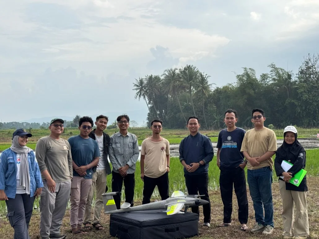
SmartAgri UGM Drone Team
The team that participated in today's mapping included: Lukas Wiku, STP., M.Sc., Fadel Arya Pradana, S.Si., Bondan Satria Pamungkas, STP., Samuel Gatot Marseno, STP., Hafidz Ebril Perdana, STP., Mutiara, Fahmi, Kevin, Ilham, and Faiz. They were responsible for operating the drone, managing sensors, and ensuring data was collected with the highest quality for subsequent analysis.
Active participation from the community and local stakeholders was an important factor in the success of this activity. Pak Ari, a field officer from Sendangsari Village, appreciated the presence of this technology in the papaya plantation. According to him, the use of drones provides convenience in monitoring plant conditions comprehensively, especially in detecting potential disruptions that are not easily recognized through direct field observation. With visual and numerical information from aerial images, farmers can more quickly take appropriate corrective measures that are well-targeted.
Support also came from PT Madubaru as the manager of the sugarcane plantation. Muhammad Luthfi Dinsaputro, S.T.P., stated that the company is very ready to deepen and develop the use of drone imaging technology in sugarcane plantation management. He believes that this method is highly potential for accelerating the detection of abnormal conditions in plants, optimizing the use of fertilizers and water, and improving overall operational efficiency.
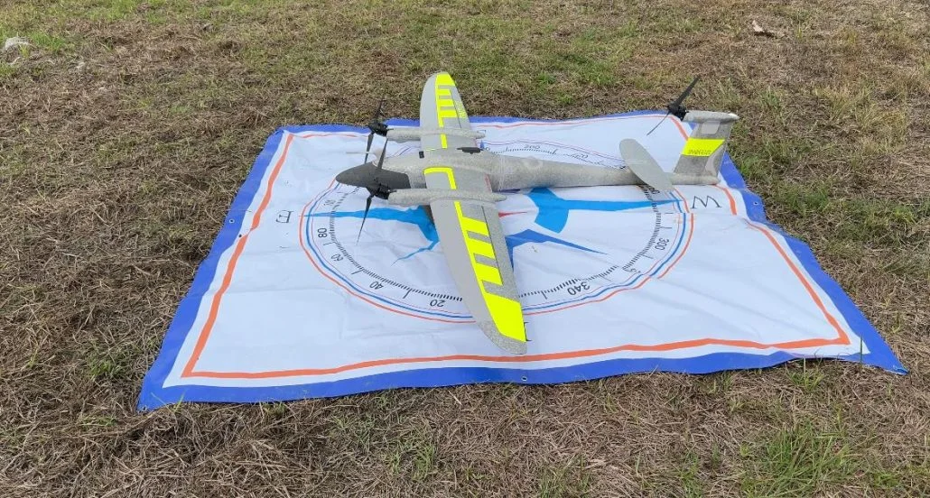
Trinity Pro Drone – Multispectral Micasense RedEdge P
The entire research process involved several important stages, ranging from equipment assembly and sensor integration, the formulation of flight plans that consider land boundaries and terrain contours, to the execution of drone flights for data acquisition. The data obtained will then be processed using mapping and spatial analysis software to produce plant health maps, biomass distribution, and more precise agronomic recommendations.
This activity is an initial step toward the implementation of a remote sensing-based precision agriculture system in rural areas of Indonesia. Through technological innovation such as the Trinity Pro VTOL drone, it is hoped that farmers and plantation managers can increase productivity, efficiency, and sustainability of their farming operations. The team from Smart Agriculture Research Center UGM is committed to continuing to develop and replicate this model to various regions and other commodities, to support agriculture based on data and technology in the modern era.
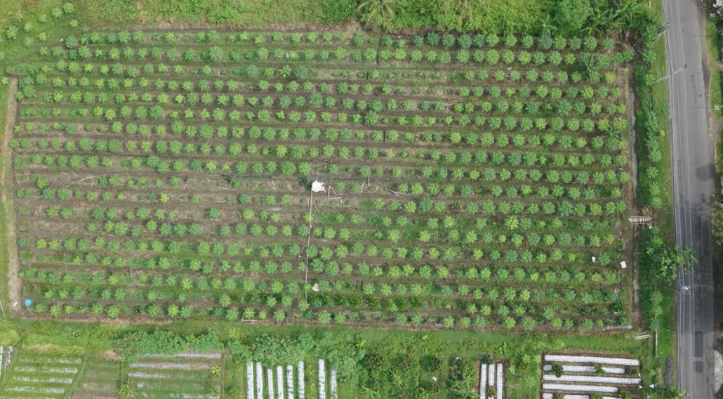
Aerial image of papaya crops using a drone
Originally published on our previous site. Read the original